
Image:Map of Athabasca Region.jpg
|
|
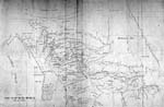
Map of Athabasca - Peter Pond
Copy of a Map Presented to Congress of United States and to the Lt. Governor of Quebec by Peter Pond, 1785 Copyright is expired / Source: this historic document is held by the National Archives of Canada and is in the Public Domain.
| Missing image PD-icon.png Public domain | This image has been released into the public domain by the copyright holder, its copyright has expired, or it is ineligible for copyright. This applies worldwide.
|
File links
There are no pages that link to this file.